Wandern im Turtmanntal – Aufstieg zur Turtmannhütte
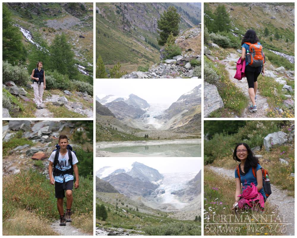
I’m back on the road again. This time I packed a friend, my nephew and a buddy of his to go hiking in Turtmann Valley in Switzerland. The goal was to hike up the highest “hikeable” summit in Switzerland (“hikeable”, meaning you don’t need any extra equipment as is the case when climbing is involved). It’s always a strange feeling, choosing a hiking tour from internet sources, and I always wonder, “Will I, or my companions, be disappointed by this trip, or will it be able to compare to my previous hikes?” (which have all been pretty breathtaking so far). But then, hiking in Switzerland, I guess, you can’t be disappointed. At least I haven’t been yet. And if you’re someone who loves alpine hiking, I can totally recommend this tour to you.
Ich bin mal wieder unterwegs. Diesmal habe ich mir eine Freundin geschnappt, und auch meinen Neffen und einen Kumpel von ihm und wir sind ins Turtmanntal in der Schweiz. Unser Ziel war, den höchsten Wandergipfel der Schweiz zu erklimmen (Wandergipfel, d.h. man kann ihn bewandern und braucht keine extra Ausrüstung wie es z.B. Kletterer benötigen). Für mich ist es immer eine gewisse Unsicherheit, eine Wanderstrecke aus dem Internet herauszusuchen, da ich mich immer frage: “Werden ich oder meine Begleiter von dieser ausgesuchten Route enttäuscht werden oder wird diese Strecke mit meinen früheren Wanderungen mithalten können?” (die bislang alle ziemlich atemberaubend waren). Aber dann, ich vermute, wenn’s ums Wandern in der Schweiz geht, kann man eigentlich kaum enttäuscht werden. Zumindest habe ich diese Erfahrung noch nicht gemacht. Und falls jemand unter euch Alpines Wandern mag, dann kann ich euch die Tour nur empfehlen.
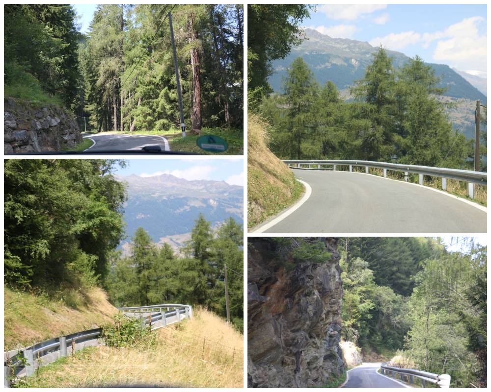
Tiny mountain road up to Turtmann Valley
Schmale Bergstraße hoch ins Turtmanntal
|| The Starting Point
The hike begins in the lovely, yet very remote valley of Turtmann in Valais, Switzerland. Turtmann Valley is a high valley, adjacent to the Matter Valley which probably is most famous for it’s access to Zermatt and the Matterhorn, one of Switzerland’s greatest landmarks. You access the Turtmann Valley via a tiny road from the small town of Turtmann (at the bottom of the main Valais Valley). Up a steep climb past the little mountain hamlets of Unterems, Oberems, and Ergisch, the road finally leads deep into the Turtmann Valley. It’s a 20 km (12 mi) drive from Turtmann all the way to the hamlet of Sänntum/Gruben (toward the far end of the valley), which is nothing more than a cluster of scattered small lodges used only in summer when the valley is accessible. The good news is, even though the road is tiny, there’s lots of space at the shoulder of the road to park a car. So, we drive as far into the valley as we can and then park the car at the side of the road.
|| Der Ausgangspunkt
Die Wanderung beginnt im lieblichen aber sehr abgelegenen Turtmanntal im Wallis, Schweiz. Das Turtmanntal ist ein Hochtal, das neben dem Mattertal liegt, welches wohl am berühmtesten durch Zermatt und das Matterhorn ist, eines der Wahrzeichen der Schweiz. Die Zufahrt ins Turtmanntal erfolgt von dem kleinen Ort Turtmann am Grund des Walliser Haupttales. Über die abgelegenen Bergdörfer Unterems, Oberems und Ergisch, geht die winzige Straße steil hinauf ins Turtmanntal. Von Turtmann zum kleinen Weiler Sänntum/Gruben (im hinteren Teil des Tals), welches nicht mehr als eine Ansammlung kleiner verstreuter Chalets ist, die nur im Sommer zugänglich sind, fährt man 20 km. Die gute Nachricht ist, auch wenn die Straße winzig ist, gibt es im hinteren Teil an der Seite viel Platz, um ein Auto abstellen zu können. Also fahren wir so tief ins Tal wie es geht und parken das Auto dann am Straßenrand.
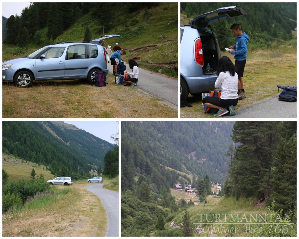
Parking at the side of the road (back corner of Turtmann Valley)
Parken am Straßenrand (hinteres Ende des Turtmanntals)
|| Taking the Canyon Trail
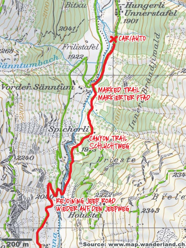
We follow the main road for just a few minutes until before a bridge a sign leads us onto a nature trail and straight into the woods. For some time the trail leads us up through wooded terrain until we reach the canyon. Holding on to chains and ropes that have been installed here for our security, we claw our way past the rocks that go straight up to our left and straight down to our right. Once we’ve passed this narrowest section, however, we are rewarded by a great view over the canyon. And though the canyon section of the trail might be considered challenging for some hikers (T3), we had no trouble here. After the canyon, we follow the trail for only a short while through rather easy terrain, across a natural bridge formed by a rock over the same stream that goes through the canyon until we meet up with the Jeep Road again, which had been the starting point of our hike. Overall, this has been a fun section to hike, with some highlights along the way (canyon, natural bridge).
|| Der Schluchtweg
Wir folgen der Straße nur für ein paar Minuten bis vor der Brücke uns ein Wegweiser auf den Naturpfad (Schluchtweg) bringt, der uns direkt in die Wälder führt. Für einige Zeit geht es hinauf durch den Wald, bis wir die Schlucht erreichen. Gesichert am Kabel können wir dieses enge und steile Wegstück entlang der Felsen (T3) direkt an der Schlucht vorbei problemlos meistern und werden danach mit einem tollen Blick in die Schlucht belohnt. Nach der Schlucht folgen wir dem Pfad noch ein kurzes Stück durch einfaches Terrain, über eine Naturbrücke aus Felgestein, die denselben Bach kreuzt, der schon durch die Klamm rauscht, und treffen bald danach wieder auf den Jeepweg, auf dem unsere Wanderung zunächst angefangen hatte. Insgesamt war dieser Teil ein toller Einstieg in die Wanderung, die bereits ein paar Höhepunkte aufzuweisen hatten (Schlucht, Naturbrücke).
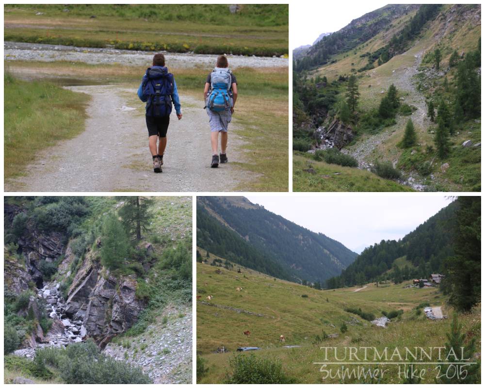
Starting out
Die Wanderung beginnt
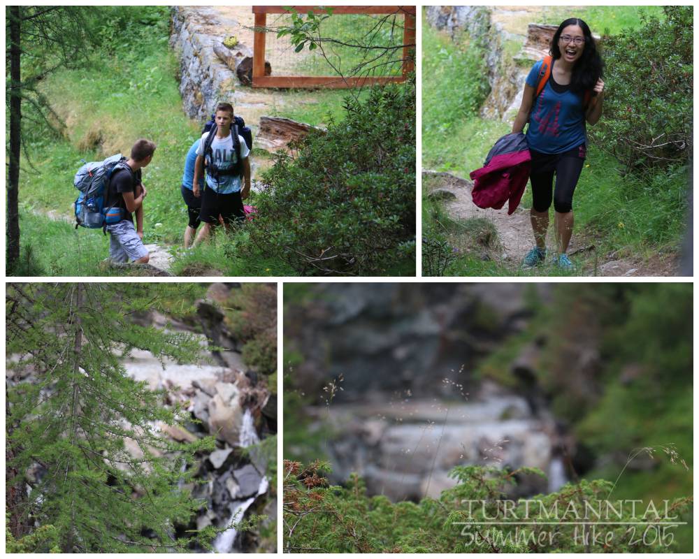
Through the forest
Durch den Wald
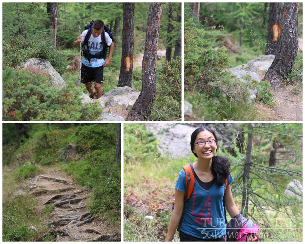
Some steep sections already
Ein paar steile Anstiege
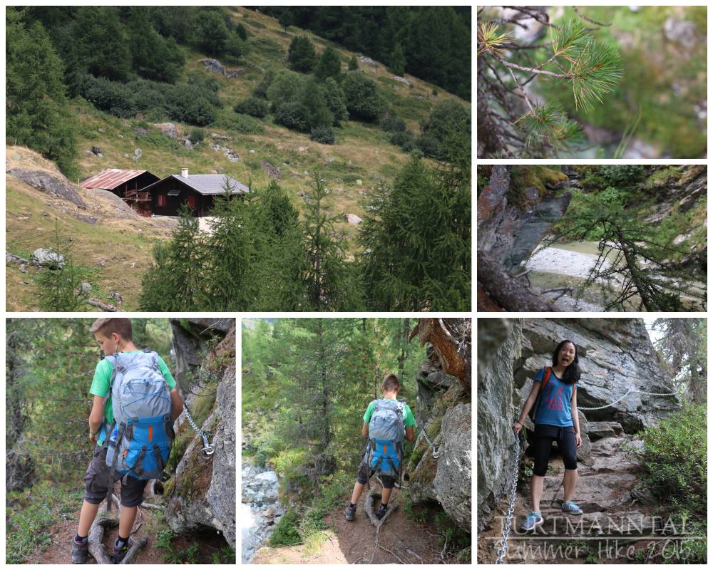
Canyon trail
Schluchtweg
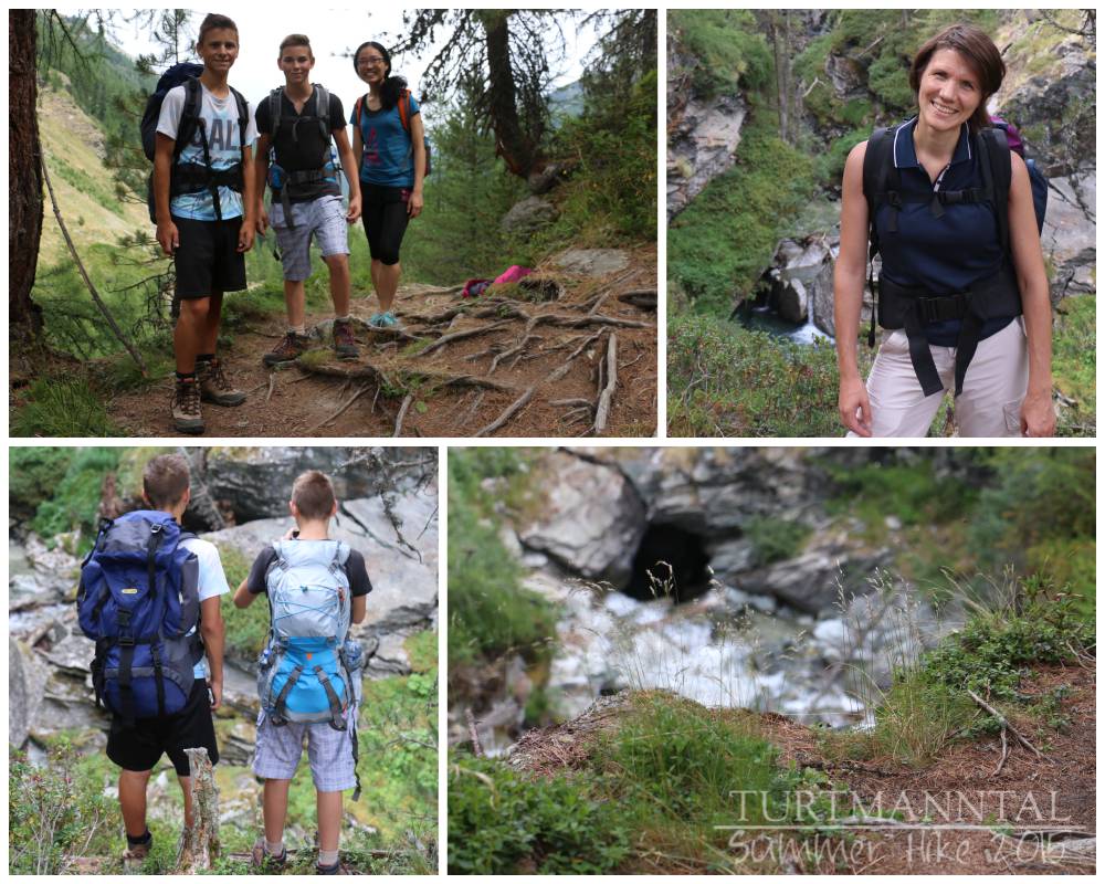
Past the canyon
Hinter der Schlucht
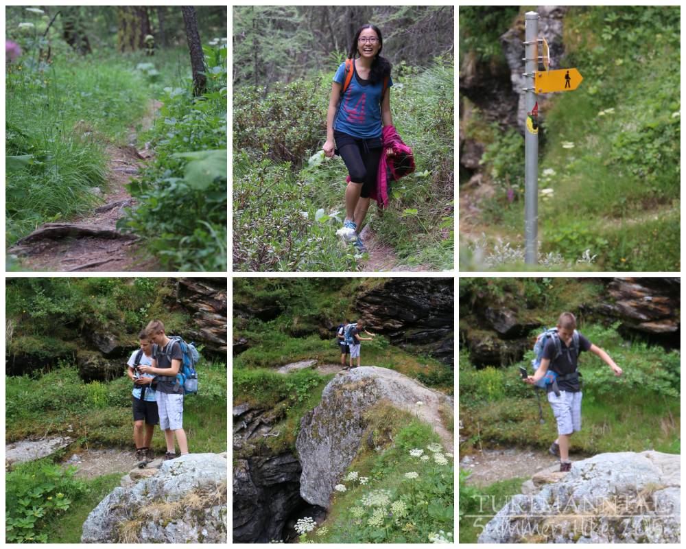
Bottom: natural bridge (water rushes past far below)
Unten: Naturbrücke (tief unten rauscht das Wasser vorbei)
|| Water Reservoir
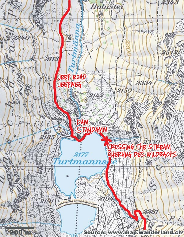
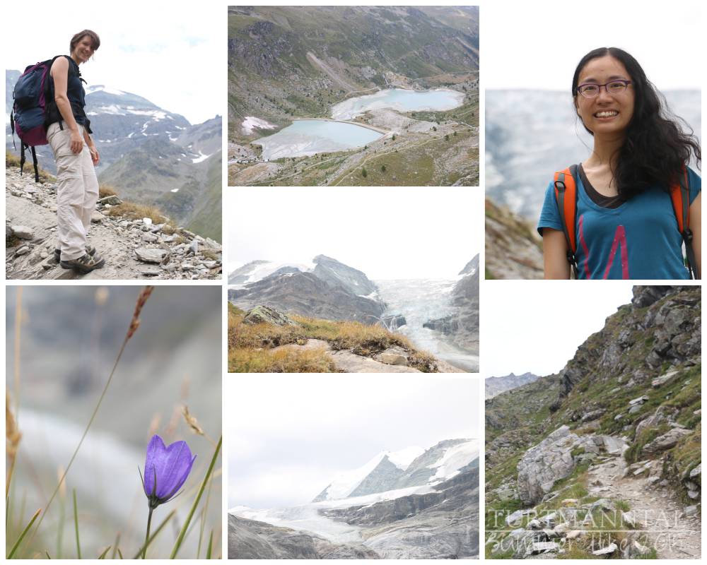
Following the Jeep Road will probably be the easiest part of our hike. The road winds up the mountainside on one side of the valley, until it reaches the first of two water reservoirs. Fun part: the valley to our left is used by farmers as pasture for their flocks of sheep and goats and you can actually observe two sheepdog at work to protect their charges. They bark at us all the way from the other side of the valley (which really isn’t far in this very back corner of the valley). As we approach the first water reservoir, contained by a pretty impressive dam, the surrounding mountains begin to encroach on us. Rather than continuing on the easy Jeep Road, we find a trail that leads across the dam and then along the left side of the reservoir. Soon we come across the broad stream which we have to cross jumping from rock to rock and then the trail begins to turn steep again, toward the mountain cabin.
|| Stausee
Dem Jeepweg zu folgen wird wohl der einfachste Teil unserer Wanderung sein. Die Straße windet sich am Berghang entlang bis man den Stausee erreicht, den ersten von zwei Seen. Höhepunkt hier: Das Tal zu unserer Linken wird von Bauern zum Beweiden ihrer Schaf- und Ziegenherden verwendet und man kann sogar zwei Hütehunde bei der Arbeit beobachten. Sie knurren und bellen uns den ganzen Weg von der anderen Talseite an (welches hier nur noch klein und eng ist). Während wir den Stausee erreichen, bemerken wir auch, dass die mächtigen Berge um uns merklich näher gerückt sind. Anstatt dem Jeepweg weiterzufolgen, finden wir den Pfad, der direkt über den Staudamm führt und folgen ihm an der rechten Seite des Sees entlang. Bald schon erreichen wir einen breiten Wildbach, den es ohne Brücke zu kreuzen gilt, aber zum Glück gibt es hier so viele Steine, dass wir alle trockenen Fußes auf die andere Seite gelangen. Nun wird der Pfad langsam wieder steiler, der uns zur Turtmannhütte bringen soll.
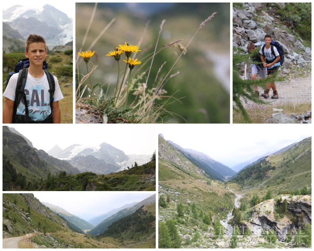
Jeep Road to the water reservoir
Jeepweg zum Stausee
Water reservoir, Jeep Road & first glimpse of the Turtmann cabin (u.l. center)
Stausee, Jeepweg, und erster Blick auf die Turtmannhütte (Bild l.o. mitte)
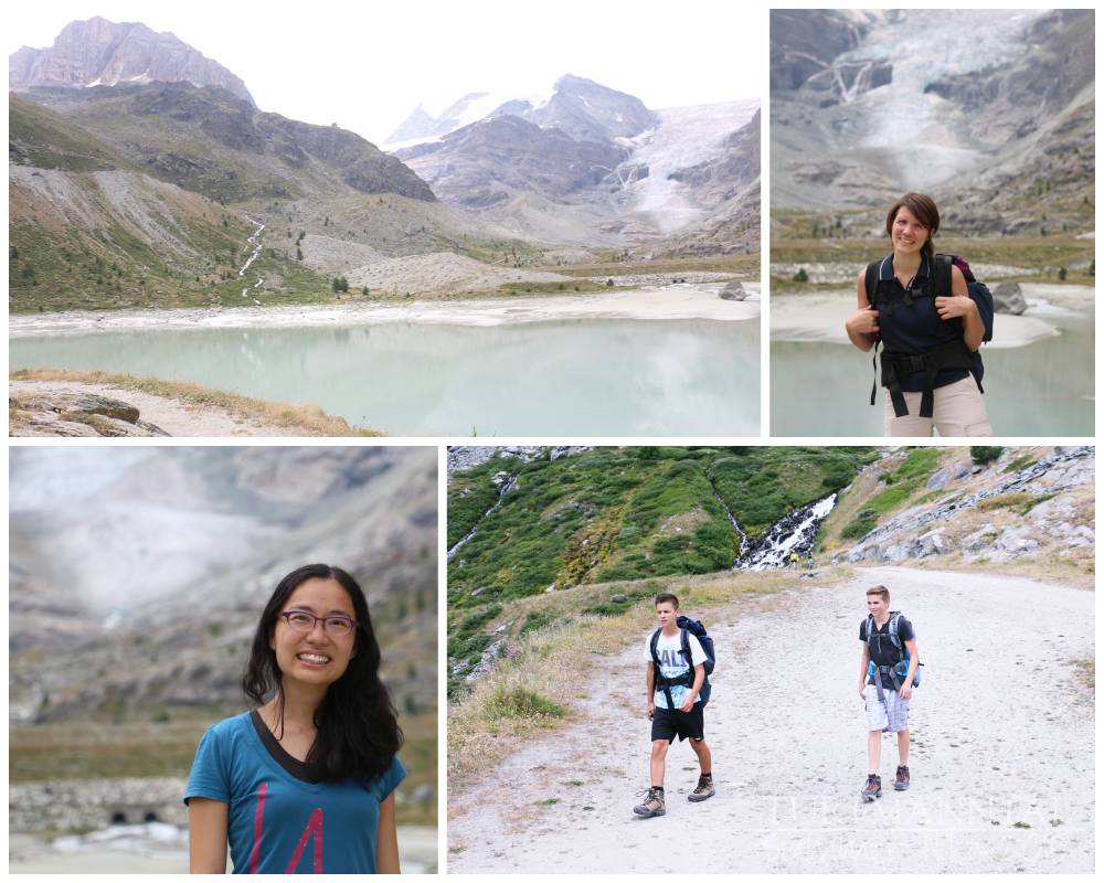
Alongside the water reservoir
Entlang des Stausees
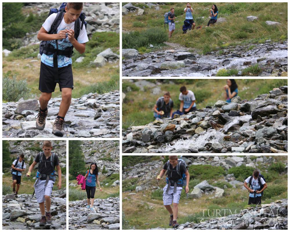
Crossing the stream
Querung des Wildbaches

|| Turtmann Cabin
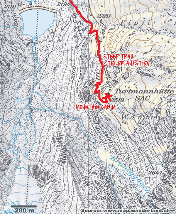
High up on a rocky ledge in front of us, we can see the tiny mountain cabin from a distance. But we still have a couple of hours of hiking along a steep trail until we finally reach the first destination of our day. Small damper upon arrival: The cabin’s caretakers don’t really want to lodge us, unless we also pay for two meals (which none of us have planned for in our budget, and Swiss mountain boarding can be very pricey, considering the effort it takes to get all the food and stuff up into a remote mountain cabin). After some discussing and begging, however, we can persuade the caretaker to make an exception and grudgingly, she accepts that we’ll stay for the night. We stop for a short lunch break, and repack our backpacks, leaving everything behind at the mountain cabin that we might not really need for the next part of the hike. Unfortunately, it’s past noon already, making it rather improbable for us to reach the Barrhorn summit and still get back to the cabin within daylight hours. So, we decide to see how far we can get and head out to the most challenging part of our hike.
|| Turtmannhütte
Hoch auf einem Felsplateau gelegen können wir schon vor uns die winzige Turtmannhütte in der Ferne erkennen. Aber vor uns liegen immer noch ein paar Stunden Wanderung entlang des nun sehr steilen Pfades, bevor wir unser erstes Etappenziel des Tages erreichen. Kleiner Dämpfer bei der Ankunft: Die Hüttenwartin möchte uns nicht für die Nacht aufnehmen, wenn wir nicht auch die beiden Mahlzeiten mitbezahlen (die wir in unserem Budget aber nicht eingeplant haben, und Schweizer Berghütten können sehr kostspielig sein, wenn man bedenkt, dass alles mühsam in die abgelegenen Hütten geschafft werden muss). Nachdem wir eine Weile diskutiert und gebettelt haben, gibt die Hüttenwartin widerwillig nach und macht für uns eine Ausnahme. Wir dürfen die Nacht also bleiben. Wir legen eine kurze Pause zum Vespern ein, dann packen wir unsere Rucksäcke um, um nur das nötigste für die nächste Etappe unserer Wanderung mitzunehmen. Alles andere lassen wir auf der Hütte zurück. Leider ist es inzwischen schon nach Mittag, was es eher unwahrscheinlich macht, dass wir den Gipfel des Barrhorns noch erreichen und bei Tageslicht noch zur Hütte zurückkehren werden können. Also entschließen wir uns, zu sehen, wie weit wir es schaffen und machen uns auf zum herausforderndsten Teil der Wanderung.
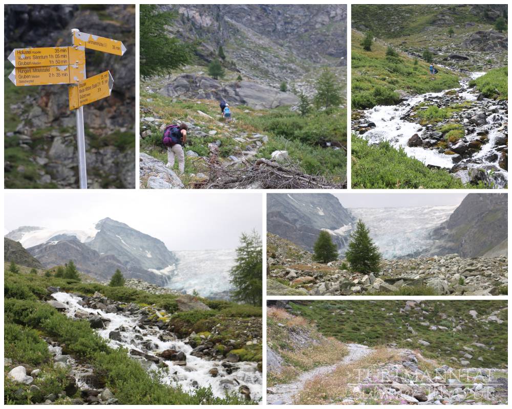
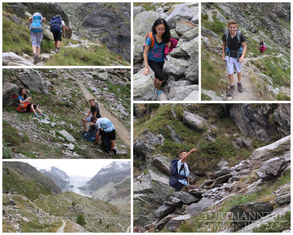
Steep climb up to Turtmann cabin
Steiler Anstieg zur Turtmannhütte
Almost at the cabin
Kurz vor der Hütte
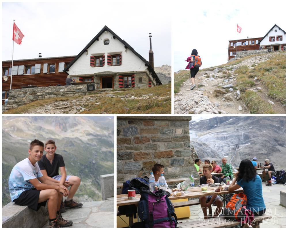
Turtmann cabin
Turtmannhütte
Photo Gallery / Bildergalerie
Click on images to enlarge / Zum Vergrößern auf die Bilder klicken
- Tiny mountain road up to Turtmann Valley Schmale Bergstraße hoch ins Turtmanntal
- Parking at the side of the road (back corner of Turtmann Valley) Parken am Straßenrand (hinteres Ende des Turtmanntals)
- Starting out Die Wanderung beginnt
- Through the forest Durch den Wald
- Some steep sections already Ein paar steile Anstiege
- Past the canyon Hinter der Schlucht
- Bottom: natural bridge (water rushes past far below) Unten: Naturbrücke (tief unten rauscht das Wasser vorbei)
- Jeep Road to the water reservoir Jeepweg zum Stausee
- Water reservoir, Jeep Road & first glimpse of the Turtmann cabin Stausee, Jeepweg, und erster Blick auf die Turtmannhütte
- Alongside the water reservoir Entlang des Stausees
- Crossing the stream Querung des Wildbaches
- Steep climb up to Turtmann cabin Steiler Anstieg zur Turtmannhütte
- Almost at the cabin Kurz vor der Hütte
- Turtmann cabin Turtmannhütte
Read on about our attempt to summit the Barrhorn (starting from Turtmann cabin) HERE.
HIER könnt ihr weiterlesen über unseren Versuch, den Gipfel des Barrhorns zu erreichen.


My question — how far is the hike to the cabin ? My girlfriend is 50, me 60. Both very active. I have a few
other Q’s.
Hiking to the cabin isn’t that far. It only takes about 3 hours. Most people want to hike up to the peak, and the cabin is only on the way there.